Navigation · Product engineering
Waterloo Wayfinder
Reliable indoor and outdoor campus navigation built from audited floor plans and routing graphs.
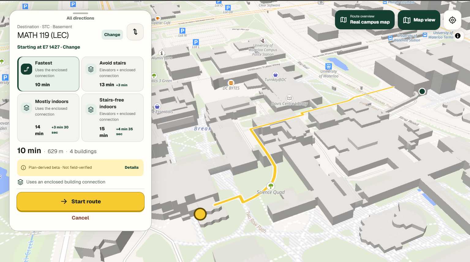
Campus navigation only works when its underlying map can be trusted. Waterloo Wayfinder brings rooms, hallways, entrances, stairs, elevators, and outdoor paths into one connected routing experience.
The project focuses on the relationship between physical spaces and software: turning floor plans into a useful graph, making connections between buildings, and explaining each route clearly.